Pirin National Park, Bansko
Description
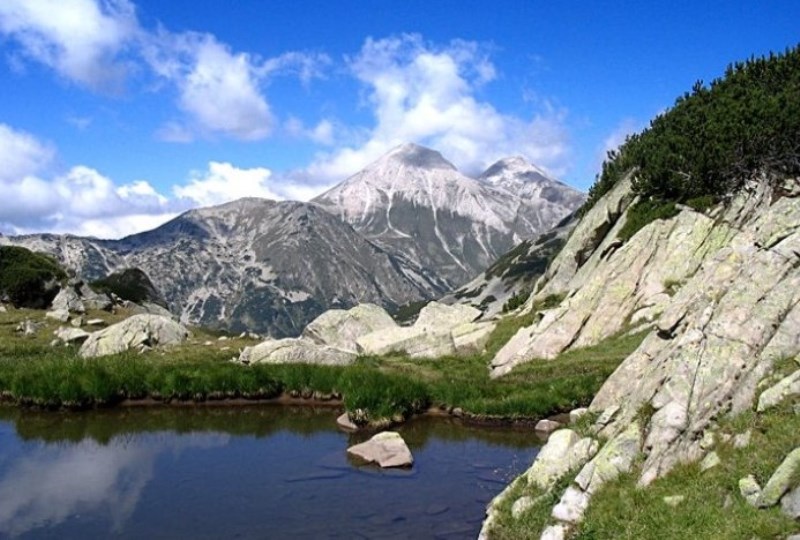
Pirin National Park is located in the Pirin Mountains, in southwest Bulgaria. The park includes seven municipalities in the district of Blagoevgrad: Bansko, Gotse Delchev, Razlog, Sandanski, Strumyani, Kresna, and Simitli.
In 1962, when Pirin National Park was established, it was known as the Vihren Nature Reserve. At that time it covered 6,212 decares and comprised the highest points of the Demyanishka and Vihren regions. Over the years the territory of the park was increased many times over, and it now covers 40,000 decares. Since 1983, the park has been protected as a UNESCO Heritage Site. The park includes one of the oldest reserves in Bulgaria – Bayuvi Dupki – Dzhindzhiritsa. The area was granted this status in 1934 so as to protect the endangered black and white fir (Pinum peuce) and the habitats of many other plants and animals. In 1977, this reserve was included by UNESCO on its list of reserves as part of the “Man and Biosphere” program, as was the park’s Yulen Reserve, in 1994. Within the park there are more than 182 species of medicinal plants and 1,315 other plant species – roughly 1/3 of Bulgaria’s total. The park also harbors roughly 320 kinds of moss and lichen and 165 varieties of algae. The wide variety of plant life supports many kinds of animals – more than 2,000 invertebrate species and more than 200 vertebrate species. Among them are the European tree frog (Hila arborea) and the Eastern Hermann’s tortoise (Testudo hermanni), both of which are included in The Red Book, an international list of endangered species. Within the boundaries of the park 159 species of birds have been recorded, amounting to some 40% of all bird species in Bulgaria. The park is divided into a number of regions: Sinanitsa, Bayuvki Dupki, Vihren, Bezbog, and Kamenitsa, part of which includes the Three Rivers region.
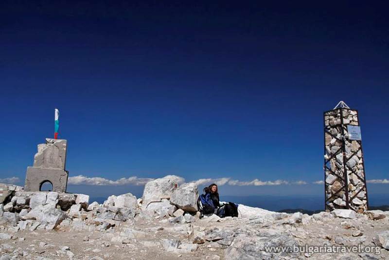
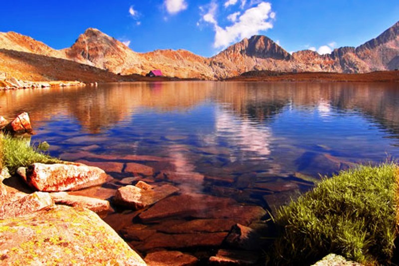
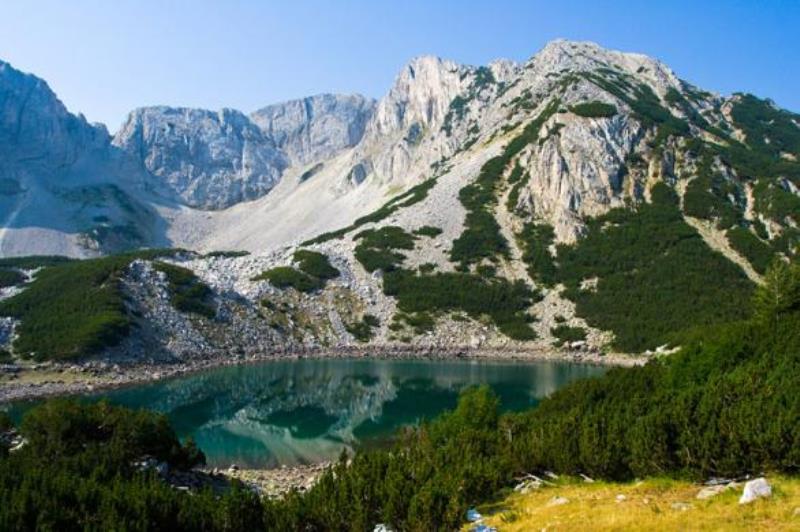
There are two tourist itineraries in Sinanitsa. The route designated by brown markers goes from the Mandrat base to the Sipanitsa Shelter (on the route to the Pirin Shelter, and the route marked in yellow goes from Mandrat base to the Black Water base (on the route to the Yavorov Shelter). At the Mandrat base there is an information center, called Vlahinska River. The international hikers’ route E4, which goes from the Pyrennees through the Alps before crossing Bulgaria’s Rila Pirin ranges and ending in the Peloponnese. The part of the route in Pirin National Park – goes from the Predel Shelter to the Yavorov Shelter and the Vihren Shelter, then to Tevno Lake, the Pirin Shelter and on to the Popov Grasslands. Another trail begins in the city of Razlog at the Betolovo Base and proceeds to the Yavorov Shelter and along the Suhondol Ridge to Kresna. There is a park information center in Razlog, in the city’s Museum of History. The Vihren region of the park is most closely associated with the city of Bansko. At 2,914 meters, Vihren Peak is the highest point in the Pirin Mountains, second only to Musala in the Rila Range. The peak is included among Buolgaria’s prime tourist destinations, and a stamp confirming ascent of the peak may be obtained at the Vihren Shelter. It is in this region of the park where Bulgaria’s oldest tree grows – the Baykusheva Fir, which is more than 1,300 years old.


